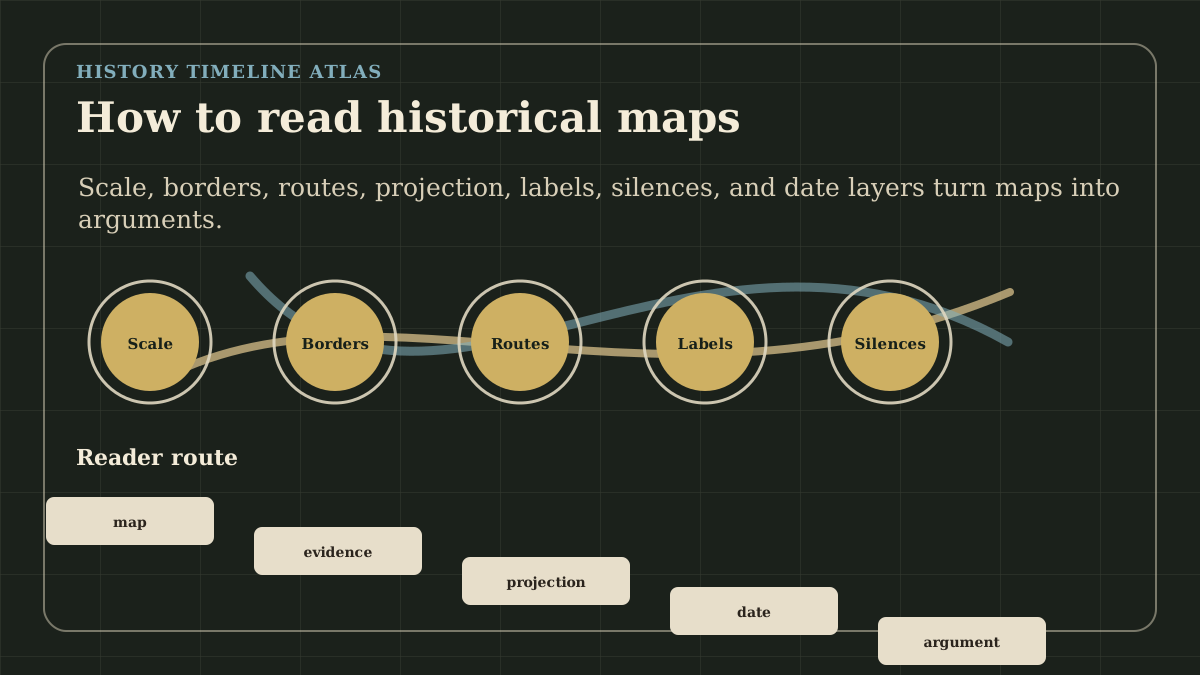
Fast Answer
Read a historical map by checking its date, scale, center, labels, boundary assumptions, path choices, and omissions. Then ask what kind of source could confirm the map's claim: a treaty, travel account, census, port record, military report, archaeological site, or later scholarly reconstruction.
Historical maps are not neutral windows onto the past. They select a date, projection, center, label set, boundary logic, and evidence base, so readers should treat every map as a claim that needs context.
Reading Paths
Choose a reading path
How to Read Historical Maps becomes clearer when the broad answer stays tied to sequence, place, and concrete next pages.
Start with a concrete event, then return to the fast answer with evidence in view.
Berlin Conference
European powers met in Berlin to regulate colonial claims in Africa without African political representation.
Columbian Exchange Begins
After sustained transatlantic contact, plants, animals, pathogens, people, and forced labor systems moved across the Atlantic with world-changing consequences.
Fall of Constantinople, 1453: Siege Timeline, Causes, Aftermath
The Fall of Constantinople happened on May 29, 1453, when Mehmed II's Ottoman forces captured the city after a 55-day siege. Read the event through a four-step sequence: Ottoman artillery and blockade pressure on the Bosporus map, Byzantine wall defense, the final assault before dawn, and the aftermath in which Constantinople became an Ottoman imperial capital.
How to Think About It
Read events in order before drawing a cause-and-effect conclusion.
Check where the events happened and which borders or paths are anachronistic.
Distinguish source-backed claims from later memory and simplified textbook labels.
Ask how the event was reused by later states, movements, classrooms, or public memory.
A Map Freezes One Moment
The first question is always temporal: what moment is this map freezing? A map of Constantinople in 1204, 1453, and 2026 would not tell the same story. The walls, rulers, religious institutions, trade paths, names, and political claims all change. A map without a date can look authoritative while hiding the most important uncertainty.
This is especially important for empires and frontiers. Borders often appear as clean lines, but historical power usually moved through forts, tax districts, client rulers, trade corridors, seasonal paths, river crossings, and contested zones. A line may be useful for orientation while still being too neat for lived reality.
A reader should therefore treat every boundary as a question. Was it a diplomatic claim, an administrative district, a military frontier, a cultural region, a later historian's reconstruction, or a modern simplification? The answer changes how much weight the map can carry.
Centering Changes Meaning
Maps make choices about the center. A Mediterranean-centered map makes Roman shipping, ports, grain paths, and coastal provinces easier to see. A steppe-centered map changes the story of Han frontiers, Xiongnu power, and Silk Road corridors. An Atlantic-centered map changes how the Columbian exchange, slavery, plantation economies, and imperial rivalry appear.
The center is not only visual. It can be political. Colonial maps often center imperial administration. Mission maps may center conversion paths. Military maps may center logistics and targets. Commercial maps may center ports, railways, canals, and markets. None of these centers is automatically false, but each one makes some questions easier and others harder.
A useful map-reading habit is to imagine the same event from another center. Berlin Conference maps look different when African polities and trade paths are placed before European claims. A map of 1453 looks different when Byzantine, Ottoman, Venetian, Genoese, and Balkan perspectives are separated rather than folded into one conquest arrow.
Paths Are Arguments
A path on a historical map should never be read as a simple line of movement. Paths depend on wind, rivers, roads, passes, disease environments, port access, political permission, violence, seasonal timing, and local knowledge. The Silk Roads are a useful example because they were not one road. They were a changing network of corridors, intermediaries, markets, envoys, pilgrims, soldiers, and ideas.
The same warning applies to disease paths. A plague map can show movement through ports and trade connections, but the map alone cannot prove mortality, timing, or social effect. It needs written accounts, archaeology, genetic evidence, climate context, and demographic debate. A path explains exposure; it does not automatically explain outcome.
For students, the safest question is: what does the path claim to connect? If it connects goods, ask about merchants and infrastructure. If it connects armies, ask about logistics and resistance. If it connects ideas, ask about translation, schools, religious networks, and patrons. The line is only the beginning.
Names Carry Power
Place names can preserve memory, erase memory, or reveal whose archive is being used. A city may carry Greek, Arabic, Latin, Turkish, Chinese, Indigenous, colonial, or modern names depending on the map's purpose. The name chosen can guide the reader toward one political world and away from another.
This does not mean every map should display every possible name. It means the reader should notice when labels are doing interpretive work. 'Constantinople' and 'Istanbul' point to different periods and memories. 'New Spain,' 'Mexico,' and Indigenous place names do not describe identical political realities. 'British India' and 'South Asia' answer different questions.
The best maps make their naming logic legible. If they cannot, the accompanying page should carry the responsibility: explain why a label is used, what it leaves out, and which linked page can give the reader a better historical frame.
What Maps Hide
Maps are powerful because they compress, but compression creates silence. Household labor, debt, oral authority, religious practice, informal markets, kinship, fear, hunger, and memory may not map cleanly. A battlefield can be mapped more easily than grief. A port can be mapped more easily than coercion inside a ship or warehouse.
This is why maps should be read with other sources. A treaty map may show claimed territory; a court record may show dispute. A trade map may show movement; a plantation record may show forced labor. A missionary map may show stations; oral history may show what conversion, education, or land pressure felt like locally.
The silence is not a reason to distrust all maps. It is a reason to use maps correctly. They are excellent for path, scale, proximity, frontier, and spatial comparison. They are weaker when asked to prove consent, motive, everyday experience, or moral meaning by themselves.
A Three-Step Check
First, identify the map claim. Is it claiming political control, cultural spread, trade movement, military campaign, migration, disease transmission, or memory? One map cannot answer all of those questions equally well.
Second, identify the source family that would support the claim. Political control needs law, taxation, garrisons, officials, or diplomatic records. Trade movement needs ports, cargo, accounts, objects, and paths. Migration needs settlement evidence, language, genetics, archaeology, or written memory. Disease movement needs medical, archaeological, environmental, and textual evidence together.
Third, return to the historical page and revise the interpretation. If the map made the event look inevitable, ask what choices, constraints, and local resistance it hid. If the map made the event look local, ask what wider path made the local scene possible.
Compare the Map With a Text Source
A historical map becomes more reliable when it is paired with a text source that answers a different question. The map may show a claimed border; a treaty can show the diplomatic language behind the claim. The map may show a trade path; a port record can show what actually moved. The map may show a campaign; a diary, order, or casualty list can reveal fear, delay, confusion, and cost.
The comparison should not force the sources to agree too quickly. Sometimes the disagreement is the lesson. A colonial map may display control that local records, petitions, resistance, or administrative reports show was partial. A missionary map may show stations while hiding dependence on translators, local converts, or contested land. A military map may show arrows that make movement look cleaner than mud, weather, disease, transport, and supply allowed.
A reader can use this rule on any atlas page: let the map answer where, then make another source answer how and for whom. When those answers do not line up, the page has found a real historical problem rather than a decorative visual.
Treat Modern Borders as a Warning Light
Modern borders can help a reader orient themselves, but they can also distort older worlds. A map of Roman provinces, Abbasid trade, Mongol paths, or Atlantic slavery becomes misleading if modern national borders silently become the main frame. The people in the past usually did not move through today's passports, capitals, school maps, and national stories.
This does not mean modern labels are forbidden. They are sometimes useful for readers who need geographic footing. The important question is whether the page makes the time layer clear. If a map uses modern country names for orientation, the text should not let those names become the historical actors. 'In present-day Turkey' is not the same kind of claim as 'under Ottoman authority,' 'in Byzantine territory,' or 'near a contested frontier.'
The safest reading habit is to ask which borders belonged to the period, which borders belong to the reader's present, and which boundaries are reconstructions. A good historical map keeps those layers separate enough that orientation does not become anachronism.
Ask What the Map Lets You Do Next
A map should change the next question. If it only decorates a page, it has not earned its place. After reading a map, the reader should be able to ask a more precise question about distance, path, access, border, center, environment, or scale. A campaign map might make supply lines visible. A trade map might make ports and intermediaries visible. A migration map might make barriers, corridors, and receiving regions visible.
The next question should also name the people who move through the space. An arrow can represent an army, merchants, refugees, missionaries, enslaved people, pilgrims, administrators, or ideas, but those movements do not have the same meaning. The map becomes historical when the path is connected to actors, constraints, and sources.
Finish by checking whether the text has answered the map's strongest claim. If the map suggests control, does the page explain administration? If it suggests exchange, does the page explain goods, language, or institutions? If it suggests conquest, does the page explain resistance and aftermath? The map should pull the reader deeper into evidence rather than letting a line stand in for explanation.
What to Write Down
A useful map note records the date, the claim, the source type needed to confirm it, and the group whose experience the map may hide. That note is short, but it changes the reader's posture. The map stops being a picture to remember and becomes a claim to test against the rest of the atlas. If the claim cannot be tested, the map should be treated as orientation rather than evidence. The note should also mark whether the map uses period labels, modern labels, or a mixture of both. Add one final sentence about what another map, text, object, inscription, treaty, or local record would need to show before the spatial claim becomes persuasive.
A Final Reader Check
Before leaving the page, ask whether the map changed the explanation or only made it easier to picture. If it changed the explanation, name the path, border, center, or distance that mattered. If it only made the page easier to picture, keep it as orientation and look for stronger evidence elsewhere. This distinction keeps visual confidence from replacing historical proof.
Map Layer
How to Read Historical Maps map examples
Gold pins mark the approximate locations of published event pages. This is a schematic locator map, not a historical border map.
Coordinates are approximate and are used to help readers orient themselves before opening a full event page.
Examples
Events That Make the Pattern Visible
Berlin Conference
European powers met in Berlin to regulate colonial claims in Africa without African political representation.
Columbian Exchange Begins
After sustained transatlantic contact, plants, animals, pathogens, people, and forced labor systems moved across the Atlantic with world-changing consequences.
Fall of Constantinople, 1453: Siege Timeline, Causes, Aftermath
The Fall of Constantinople happened on May 29, 1453, when Mehmed II's Ottoman forces captured the city after a 55-day siege. Read the event through a four-step sequence: Ottoman artillery and blockade pressure on the Bosporus map, Byzantine wall defense, the final assault before dawn, and the aftermath in which Constantinople became an Ottoman imperial capital.
References
Where to Check the Facts
- Library of Congress: Maps and GeographyReference for map collections, cartographic source context, and historical geography.
- David Rumsey Map CollectionReference for historical maps as dated artifacts with publication, projection, and labeling choices.
- UNESCO: About the Silk RoadsReference for Silk Roads as networks of exchange rather than a single fixed road.